Loading Events

« All Events

Discover EDITO at the Digital Ocean Forum #4

November 27 - November 28

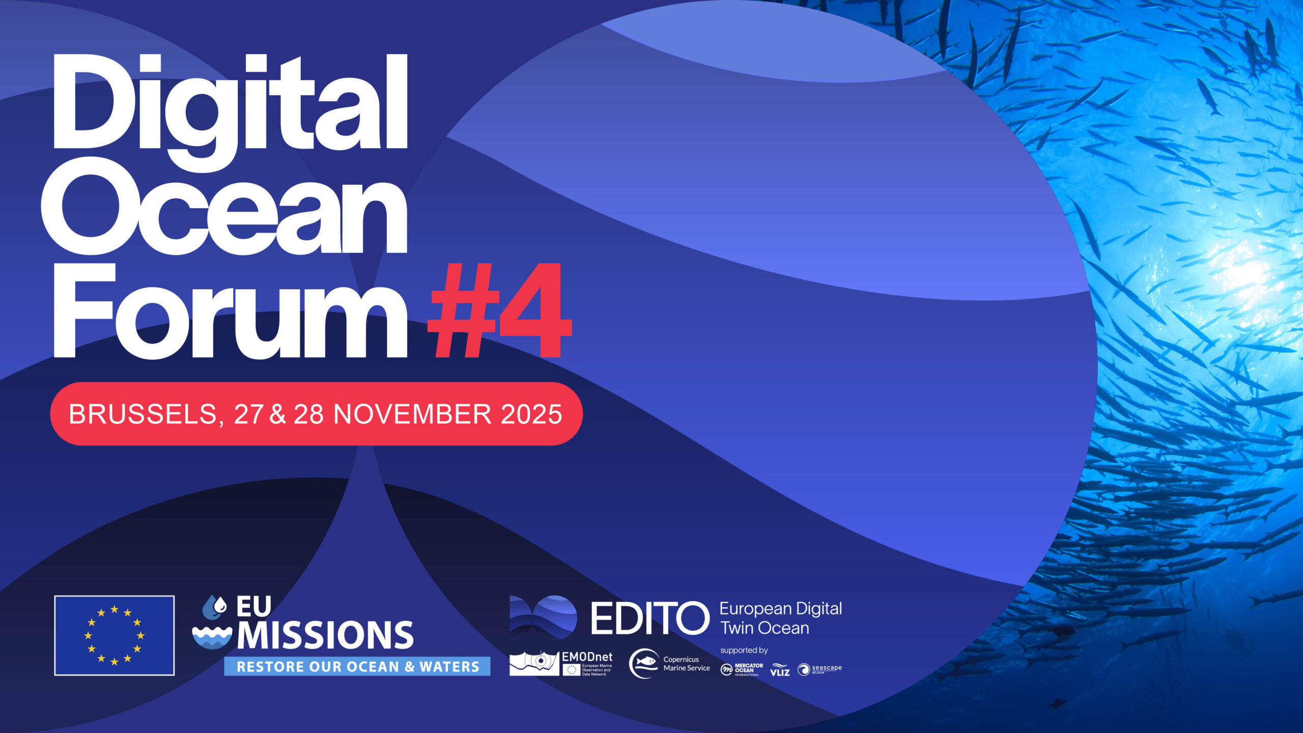
The fourth edition of the Digital Ocean Forum will take place on 27-28 November in Brussels (Belgium). At this landmark event, ocean scientists, modellers, researchers, innovators and policymakers will come together once again to take stock of recent developments and explore new opportunities towards the co-construction of the European Digital Twin Ocean. 

Attendees will be invited to learn the latest about EDITO: the public infrastructure of the European Digital Twin Ocean, powered by EMODnet and Copernicus Marine Service. The event will feature demonstrations and deeper dives into what the EDITO platform offers for scientists, developers, policymakers, and Ocean citizens across Europe. From providing rapid ocean insights to modelling “what-if” scenarios and supporting science-based decision making, we invite you to discover the power of EDITO, and new, upcoming funding opportunities to harness it for your digital twin projects and initiatives.

Join the European marine, research and innovation community in a collective effort to catalyse digital knowledge in support of the EU Mission “Restore our Ocean and Waters”.

Register here.
Find more information.

Details

Start:
November 27
End:
November 28

Venue

Hotel nhow Brussels Bloom
Rue Royale 250, 1210 Bruxelles
Brussels, 1000 Belgium
+ Google Map

The Ocean Bulletin is an open web platform that helps maritime professionals plan routes at sea factoring meteorological and oceanographic conditions into predicted arrival times, fuel consumption, and CO₂ emissions. This application is meant as an EDITO integration aimed for a global audience, allowing users to simulate voyages anywhere on the global ocean, or between specific ports, and to compare performance across multiple types of vessels.

This application simulates a water column anywhere around the world, allowing users to explore the selected water column’s response to pressures.

This application provides real-time position of the low tide bathymetry line observed from satellites, which is useful for navigability and planning maritime operations.

The Global AI-Ocean Forecasting System (GLONET) provides an on-demand, fast, configurable and interactive framework that can be activated easily and quickly everywhere in Europe and in the world Ocean. ​

This application provides an accurate, resource-efficient and accessible tool for seasonal prediction of chlorophyll concentration. Chlorophyll concentration is an important indicator linked to marine ecosystem health, productivity and fisheries.

This application offers a web interface with a thematic approach to data, allowing users to create maps and graphs and to apply on-the-fly processing to deliver a comprehensive picture of the ocean on a given topic and/or area.

This application aims to improve the modeling of key tuna species spatial dynamics under the influence of essential ocean variables. It uses model projections from the Intergovernmental Panel for Climate Change (IPCC) to explore the future of tuna populations and their fisheries.

This application aims to support coastal and marine planning by enabling proactive responses to sargassum influxes across the Equatorial Atlantic and surrounding Exclusive Economic Zones (EEZs).​

This application shows the impact of ocean observing systems -including in situ observations and satellites observations- on the ocean forecasts from the models. It provides access to information about observations assimilated to model (GLO12) and features to compare simulations with or without observations.

This application provides local information on people and buildings at risk in coastal areas, offering an assessment based on selected parameters, including “Shared Socioeconomic Pathways” (SSPs) scenarios, time scale and types of extreme events.​ This interactive experience about coastal risks and adaptation is powered by the Coastal Climate Core Service (CoCliCo) project.

Simulate the hydrodynamic impact of seagrass on coastal erosion to support coastal protection agency, decision makers and scientists to take nature-based decision. ​Demonstrator based on the What-if Scenario on NBS, developed by HEREON in the frame of the EDITO Model Lab project focused on the Wadden Sea (Germany) and the Songor Lagoon (Ghana).

This application simulates how limiting fisheries during certain months can lower the risk of impacting turtle populations. Harnessing turtle drift simulations developed with Copernicus Marine products, and using EDITO, the application demonstrates how ocean knowledge and modelling can be used to protect biodiversity.

This application provides information on the exposure of local regions to plastics coming from terrestrial origin, including level of exposure, origins and travel time. It provides “what-if” scenario options to examine the effect on the local exposure footprint of potential reductions of plastic emissions at (distant and local) source.

This application presents the EU infrastructures -the in situ and satellite observing systems- underpinning the development of the EU Digital Twin Ocean and the stakeholders involved.​